My Actifit Report Card: September 25 2021
A Day of Adventuring Around Toronto:
My Daily Adventures;
Saturday, September 25th, 2021 -
You can find my daily actifit postings here /@trezzahn for ecency, and:
the new sportstalksocial frontpage, where I re-blogged my favourite and now new stories to so far:
https://www.sportstalksocial.com/@trezzahn/
and my Engrave dblog:
Awakening early and with great anticipation for my day ahead, I got ready with my morning routine and ritual, made some breakfast, and did my crypto-work and finances while eating and watching my TV series "Reign". Over halfway into Season 4 now; almost done, hoorah.
Finishing up, I cleaned up the layout of this, and future, ActiFit blogs and went over my work from yesterday.
Quite satisfied with the results of my HypnoFriday blog post - which one can find here: https://ecency.com/hive-163105/@trezzahn/hypnofridays-week-1 - I examined my analytics on the posting as well as yesterdays ActiFit post - quite proud of myself if I might add, yesterday was a success! and a great night trip for me :)
By 9am I had finished my morning wake-up and worked on cleaning up my yard, my botany, and finally my indoor hydroponics.
- I spoke with someone on Ecency last night about growing Lemon Balm, something I maybe be interested in doing hydroponically this winter.
Later, after getting ready and approaching noon after relaxing for a while, I made the decision that I was to head out for the day -regardless of my hand- downtown, by bus, to explore and maybe find something worth posting!
And so I did!
I prepared myself to head out and was eventually out the door just a bit before noon, and arriving downtown after a 2hour transit ride, around 1pm. Such a large metropolitan region. Guess that's why Toronto, being over 10 million now, is considered a megacity!
Upon arriving at Clarkson past Erin Mills-South Common, I missed the train, so I decided it to be a good idea to catch the Lakeshore bus through Port Credit, Mineola, and Lakeview to
Etobicoke
A district south of Islington, eventually arriving just near Alderwood upon Long Branch. I decided hey, I'm already half way there, I'll hop on a streetcar.
Headed eastward, I passed through Mimico-New Toronto and The Queensway-Humber Bay South,
Eventually reaching the Humber Marshes just west of High Park-Bloor West and south of the South Kingsway.
I began my journey, venturing north-westerly (left) so I could eventually hit the Kingsway at Bloor St. then travel east to High Park North and south through High Park-Swansea, winding me up eventually at Roncesvalles-Sunnyside-Parkdale and completing a big ol' square.
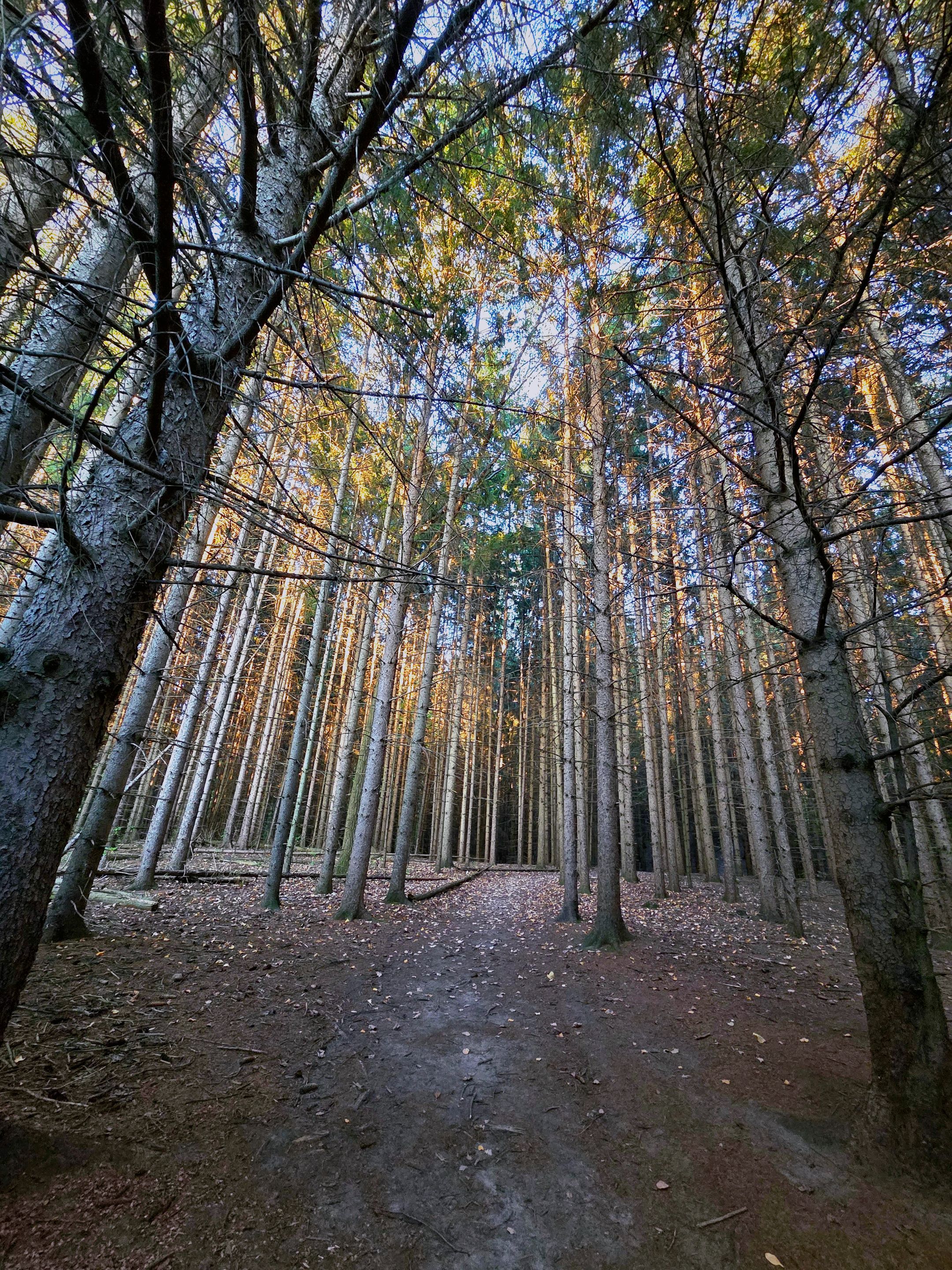
The walk along the trail was beautiful; with both the urban forest,
And the urban commonalties combined,
Giving a great feel and vibe to the whole atmosphere.
Exiting the southern section of the trail before Bloor -Middle- at South Humber Park -Quarter-Way-,
I reconnected at King Mills Park and Riverwood Parkway; where I continued along the Humber Marshes trail.
The view was astonishing,
And the trail,
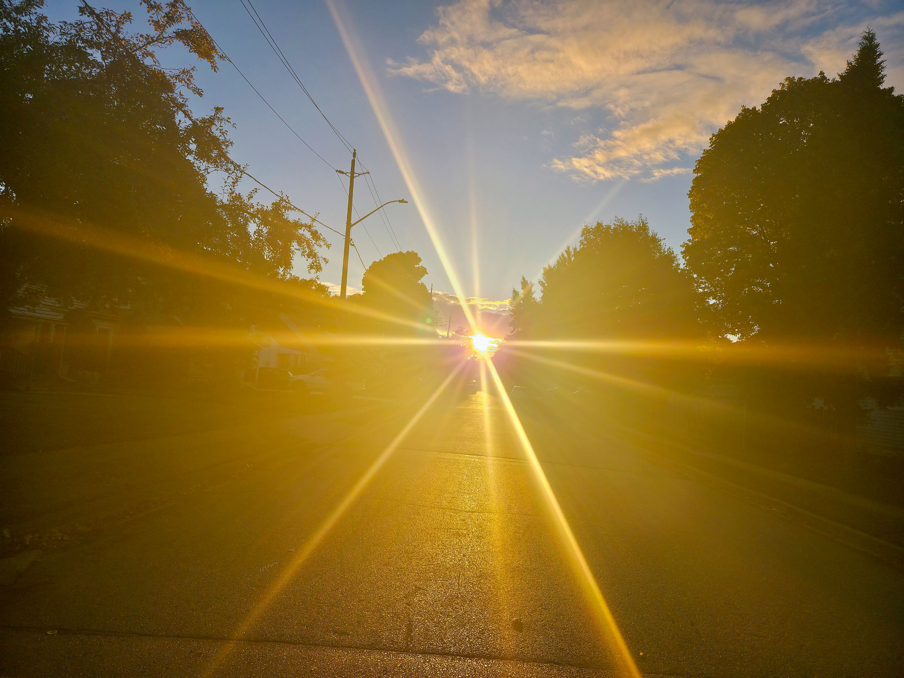
Even moreso with the beautiful sun glaring down at me as I continued my pace!
Traveling along I took my time and enjoyed the sights and sounds of that around me. The area was beautiful.
I passed by the Riverview Gardens Trail beside Old Mill Station after reaching the head of the trail at Bloor,
Eventually reaching the Bloor-Jane border between the two districts, and entering;
York
Taking a short break south of The Junctionat Runnymede In Swansea-Bloor-West Village, I snapped this of old-Swansea.
I continued on through to High Park, arriving around 2pm, and enjoying every step of the way! It was weird however the way I entered.
Instead of the usual trail entrance, I traveled down Clandenan Ave to a private street, and from there, a side street to a stretch of road alongside a cliffside ending at a park.
Having biked here a million times (with pictures in my other downtown blogs!) I tried to snap some new shots, but this time, on the trails that I never get a chance to check out because of the bike!
Saying hello to the friendly ducks, I began my hike!
Now let me say, this was extremely confusing so I will try and display the journey as simply as possible, haha!
So, starting off, I began up the side trail leading off of the Discovery Trail beside the marsh -that I normally would be taking-,
About 100m up, I turned right, and then 200m along came across this split.
I continued forward, and as the dirt began to change to a lovely pale, dry, colour, I turned right at this -almost- "t" that eventually curved leftward, to the point of;
This split, where, hitting another "t", I turned right again to put me back on the right-path along the marsh cliff-side.
Reaching this point, I continued my pace forward,
And eventually reached a nice resting spot!
Eventually coming to another -and hopefully my last- "t*" along the trail, I decided to further my journey to the centre of High Park via the marsh cliff-side trail;
Further and further I go into the beautifully green forest, continuing straight here,
I reached what I was hoping -yet again- my last "t" and decided on going left towards the centre (ish) now.
This eventually lead me to a higher section with a fork in the path. Going right, I followed along smaller trees and bushes,
And came across the final fork in the road, leading me right to and opening up to Cherry Hill Rd.,
Where I went down a small hill towards the Lakeshore and reached Lake Ontario.
I continued eastward along the now, main, paved trail I had connected to, and headed north-western towards central High Park on that trail, then north-eastern past central High Park up the trail, reaching just east of the centre but now at elevation;
This walk along High Park Rd. took me past Colborne Lodge, a heritage landmark -being one of the first settlements on this spot over 250 some-odd years ago- of Toronto, centralizing the park as a rectangle bound by Runnymede to the west, High Park North to the, well, north, Sunnyside to the east, and the Queensway -Queensway-Humber-Bay Shores- to the south;
Walking south along Colborne Lodge Dr., I reached Deer Pen Rd. along Spring Rd.
Now at the top of the hill, I continued east to *High Park Blvd." from Spring Rd. and Centre Rd. at Howard Park Rd.
After walking through and now being past South-Central High Park, I traveled eastward on High Park Rd.,
Through Roncessalles,
And passing this awesome abandoned factory in Parkdale-Sunnylea,
And eventually coming across the old Linseed Oil Mills again on MacDonnel Ave. just west of Jameson Ave.;
Eventually, after a pleasant walk along Queen St W. towards downtown north to Brockton Village; I reached Trinity Bellwood's Park upon Trinity Bellwood's near Kensington Market around 4pm.
Above, see looking east along Queen St. W just past the Dufferin St. bridge towards Ossington Below, at Queen St. W and Ossington Ave. further looking east towards Bathurst St. between Dovercourt and Lower Ossington Ave..
Heading past Ossington Ave. on Queen St. W however was a little "sketchy", and as I crept closer and closer to Bathurst St., by Trinity Bellwoods Park, I did NOT want to have my phone taken from me for taking some pictures so I didn't explore here quite too much on foot, so I snapped a shot of the park and skidaddled.
Staying quiet up Bathurst St., I took this walking along,
And I turned past The Junction on Dundas St. W and down Spadina Ave. S.. Whew. Heck of a walk!
It was from here that I connected with and traveled south, through ChinaTown, eventually reaching,
Old Toronto
Where I proceeded from Spadina Ave. at Queen St. W. through Graffiti Alley!
However, the rain got the best of the afternoon and sadly, I had to end my afternoon a little earlier than anticipated.
Catching a streetcar to Union Station, shot seen above and below, I got on the subway after taking a few pictures,
And the CN Tower poking out from behind **Union Station ** bound by University Ave. to the south and the Parliamentary Grounds to the west; and leaving Yonge St. to the east and Front St. to the north,
I took this through a few dozen stops and an hour of my time to Islington Station where I got a glimpse of the storm that had passed. For it had been large and I was thankful I was underground on the subway for all of it!
Reaching City Centre, after passing through Rathwood, the Mississauga Valleys and Cooksville, I entered
Mississauga,
And eventually wound up back where I started at about 9pm, 12hours after leaving.
I passed through Credit Valley, Creditview-Streetsville, Erindale-Erin Mills and finally, Meadowvale-South on my way back until finally getting to my final destination.
Thankful to finally be home and able to relax, I got all my night tidings together and set up my TV to watch my series "Reign". for, today was a good day, and ultimately, that's something that we all should wish and strive towards; every. single. day
For now, cheers to another good day and to tomorrows fellow ActiFitters!🍻
Check out some of my other stuff!
https://ecency.com/@trezzahn/blog
Pinmappled!
#hive #steem #steemit #actifit #blogging #ecency #walking #hiking #trails #outdoors #views #plants #trees #nature #enjoyment #photography #sportstalk #sportstalksocial #life #adventuring #exploring #trezzahn #pinmapple #humbernarshes #kingmillspark #highpark #lakeshore #dundas #bloor #yonge #bathurst #toronto #urbex #linseedoilmills #sorurauen #abandonedmill #abandoned #unionstation
This report was published via Actifit app (Android | iOS). Check out the original version here on actifit.io



Height180.3 cm |  | Weight60.1 kg |  | Body Fat% |  |
Waistcm |  | Thighscm |  | Chestcm |  |









Comments